Sale Price:
€79.00
Original Price:
€89.00
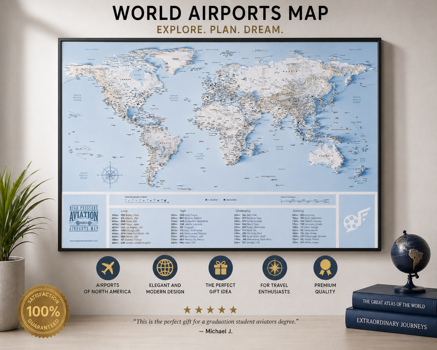
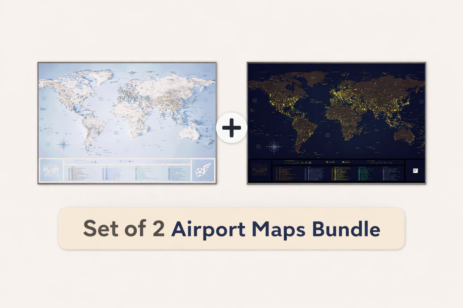
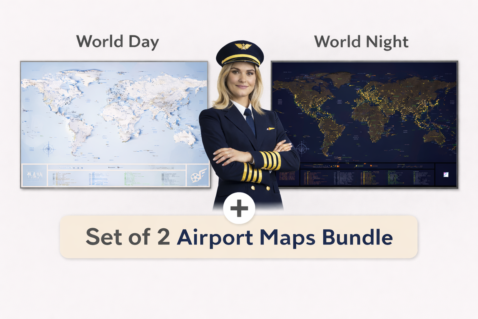
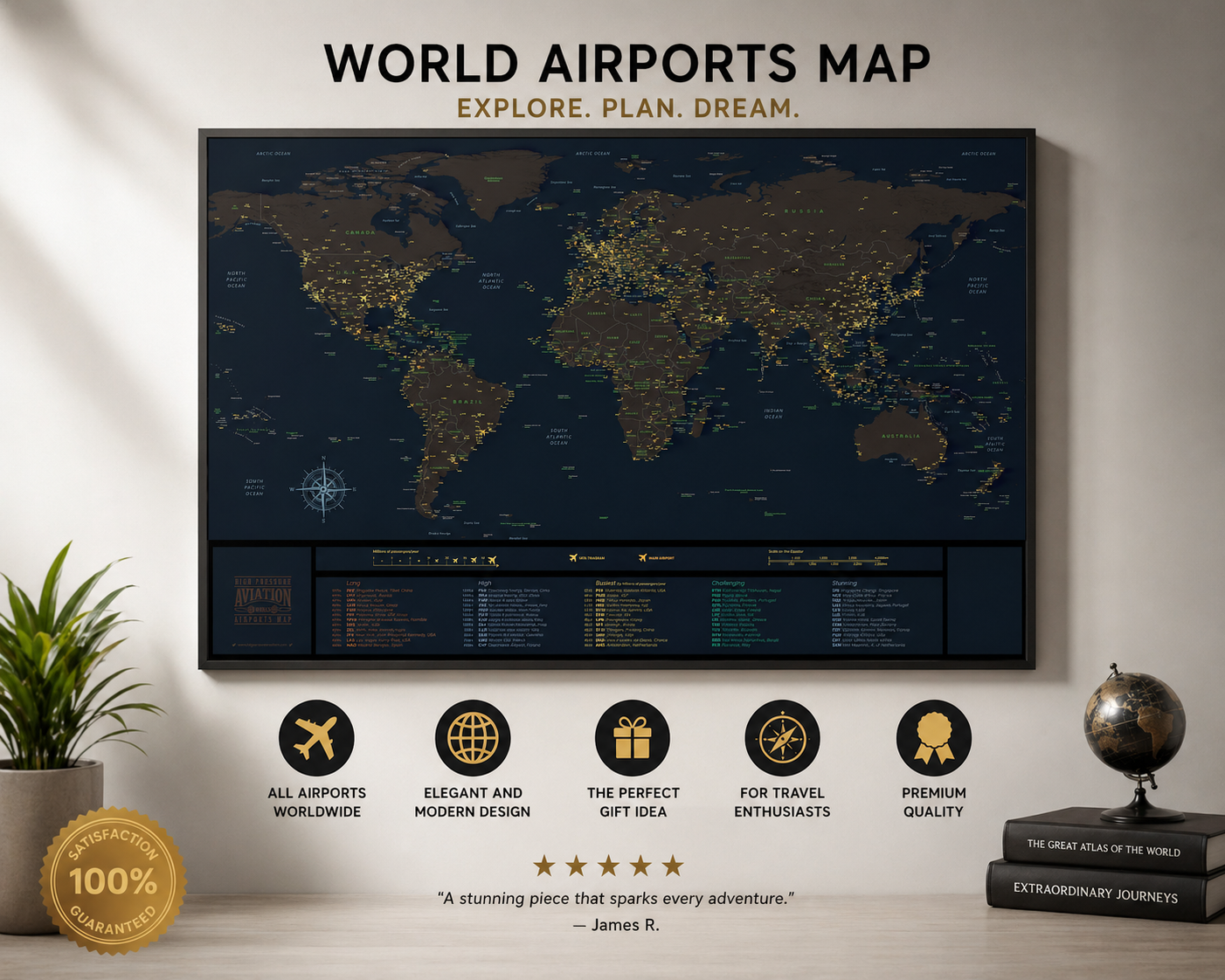
2 MAPS INCLUDED : 1 WORLD + 1 USA
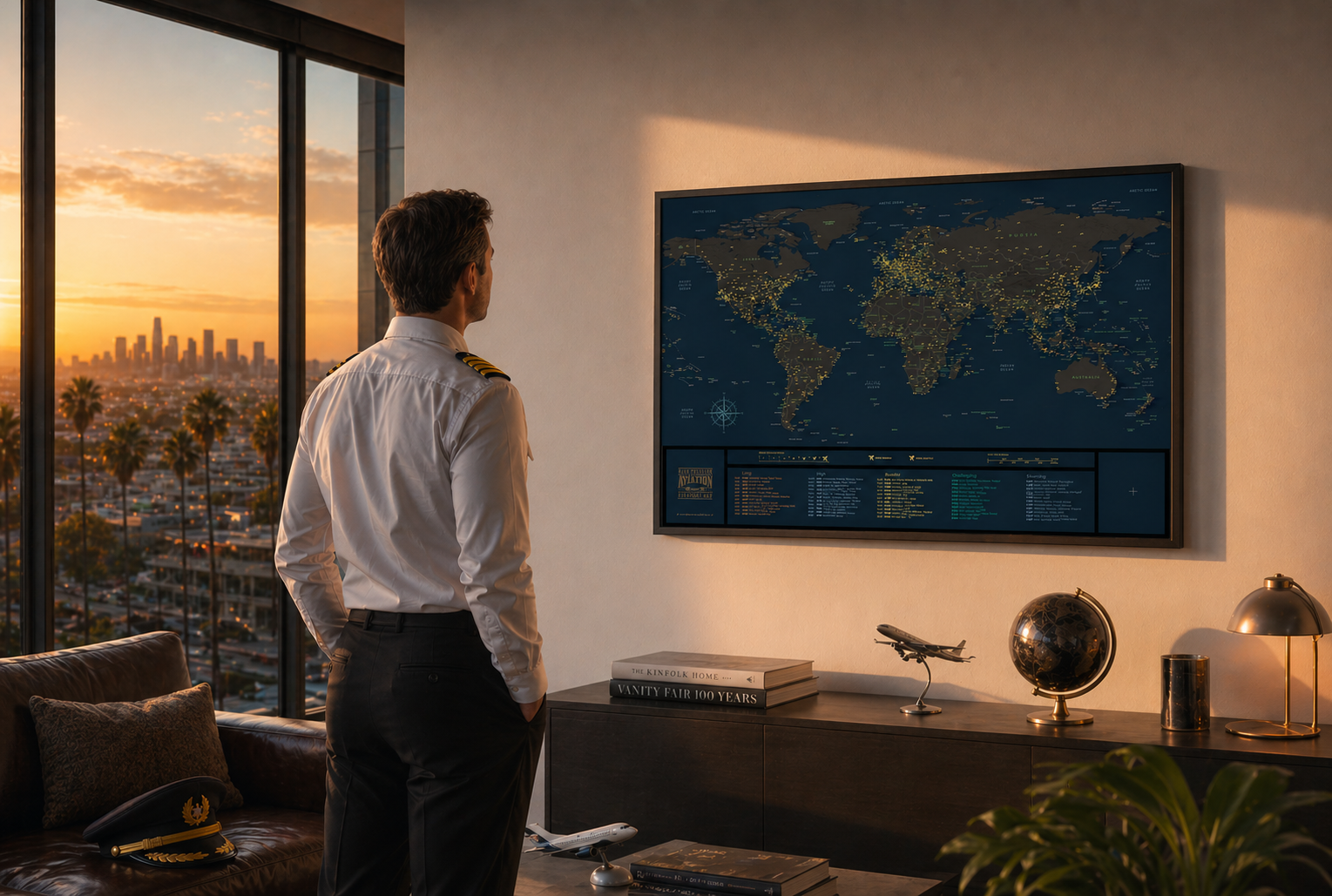
100% made by an international pilot frequently flying in the USA
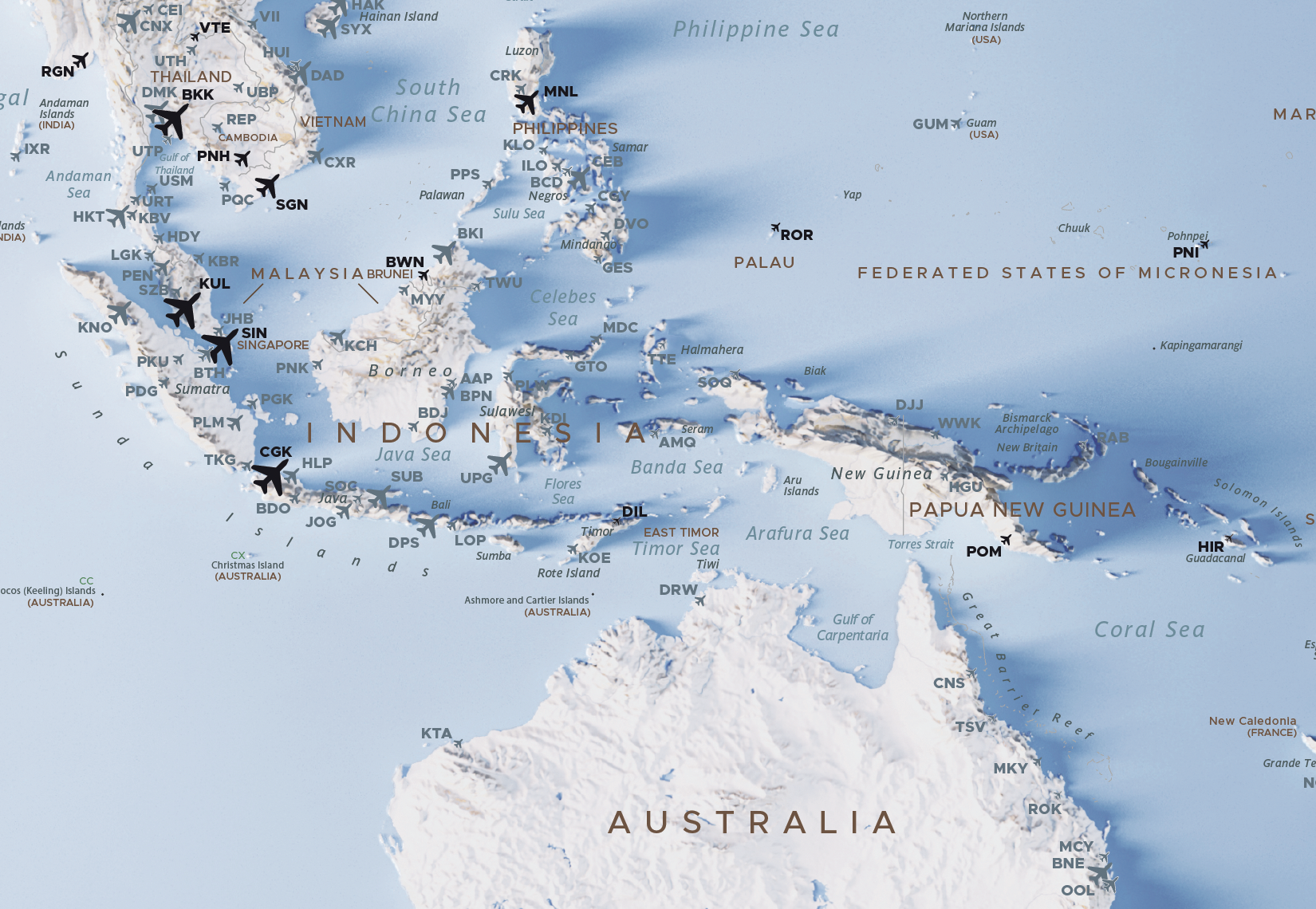
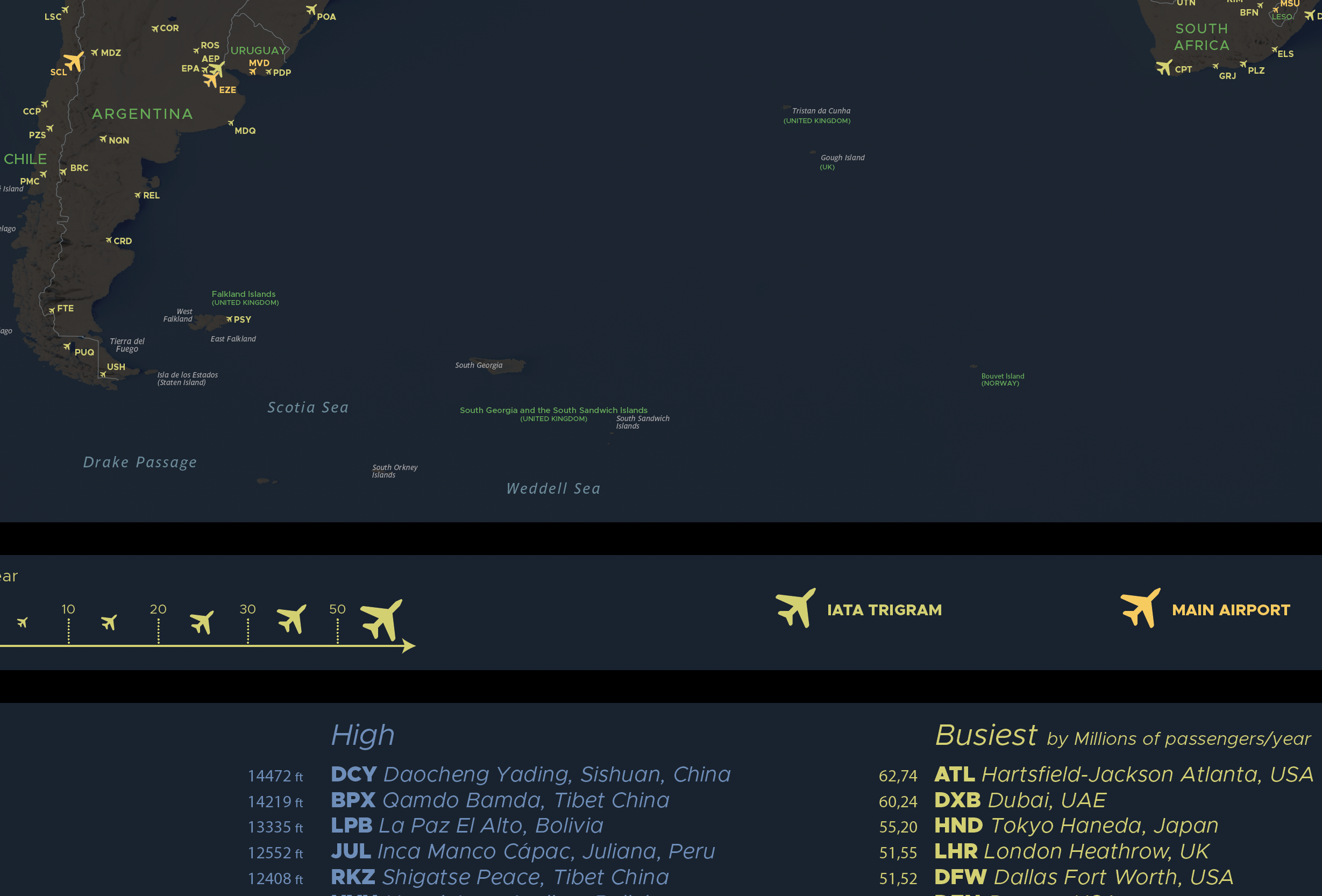
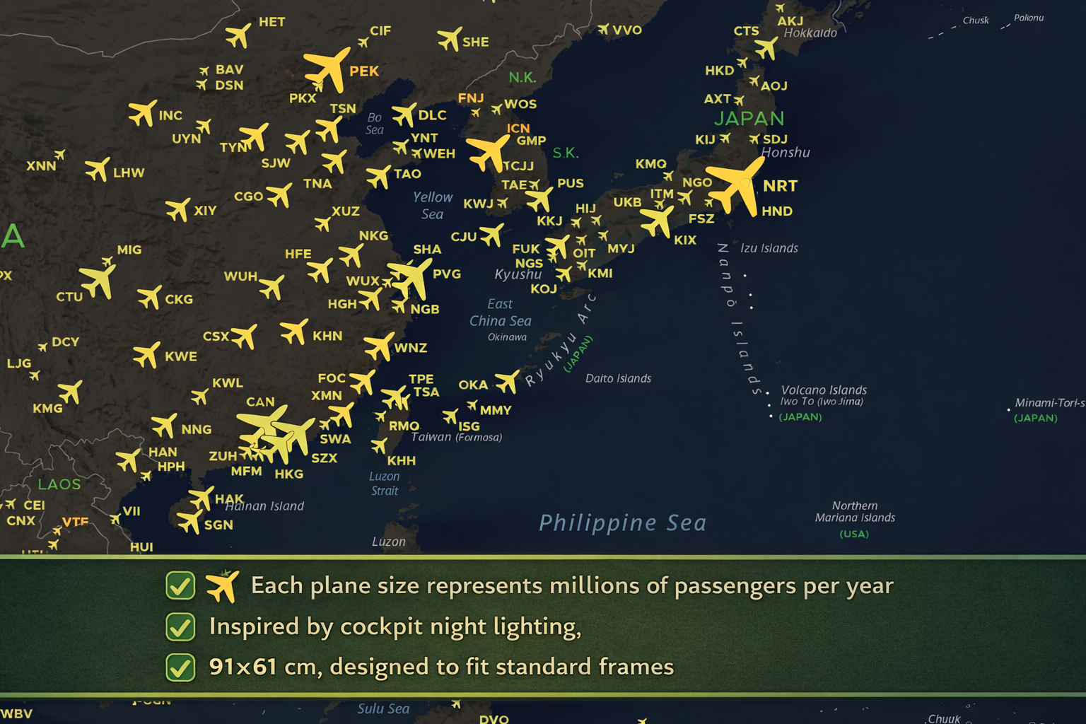
✈️Airplane icons sized proportionally to passenger volume
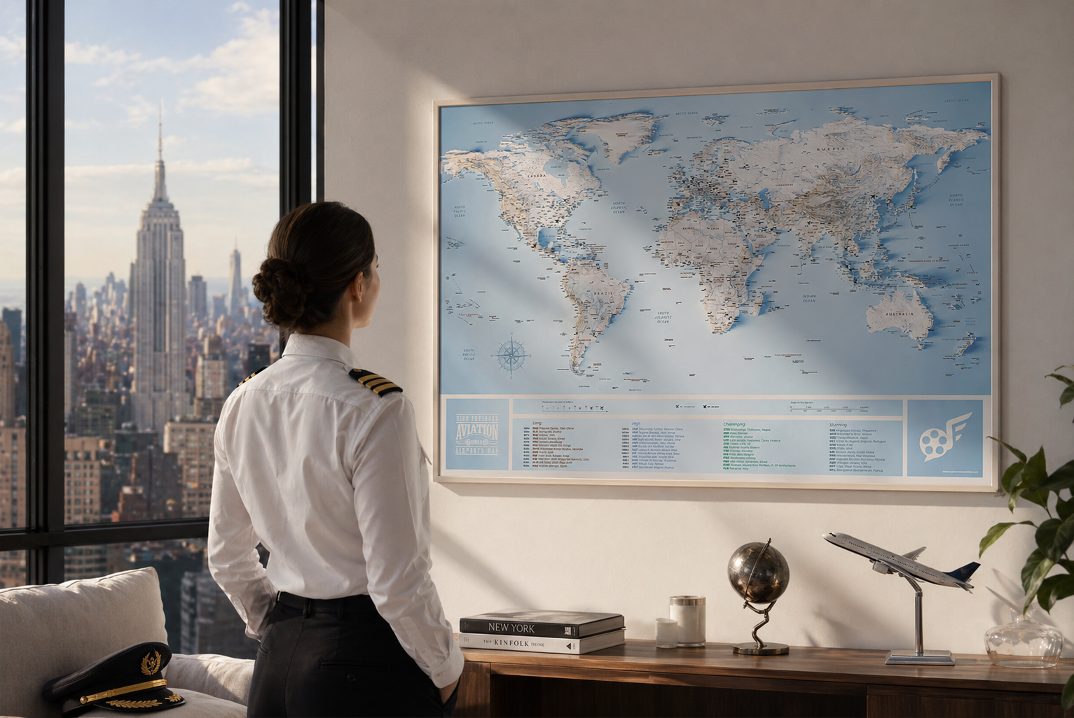
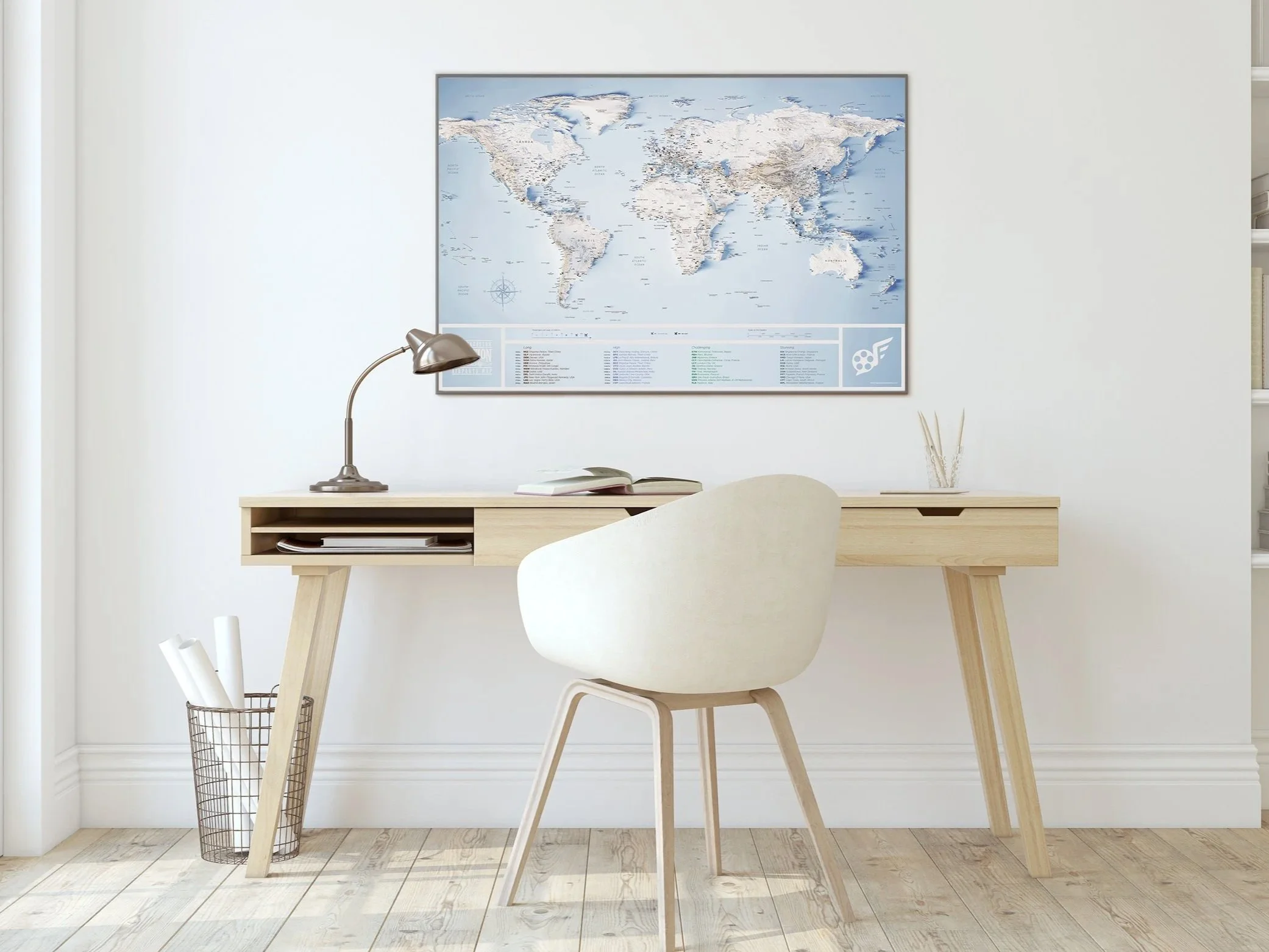
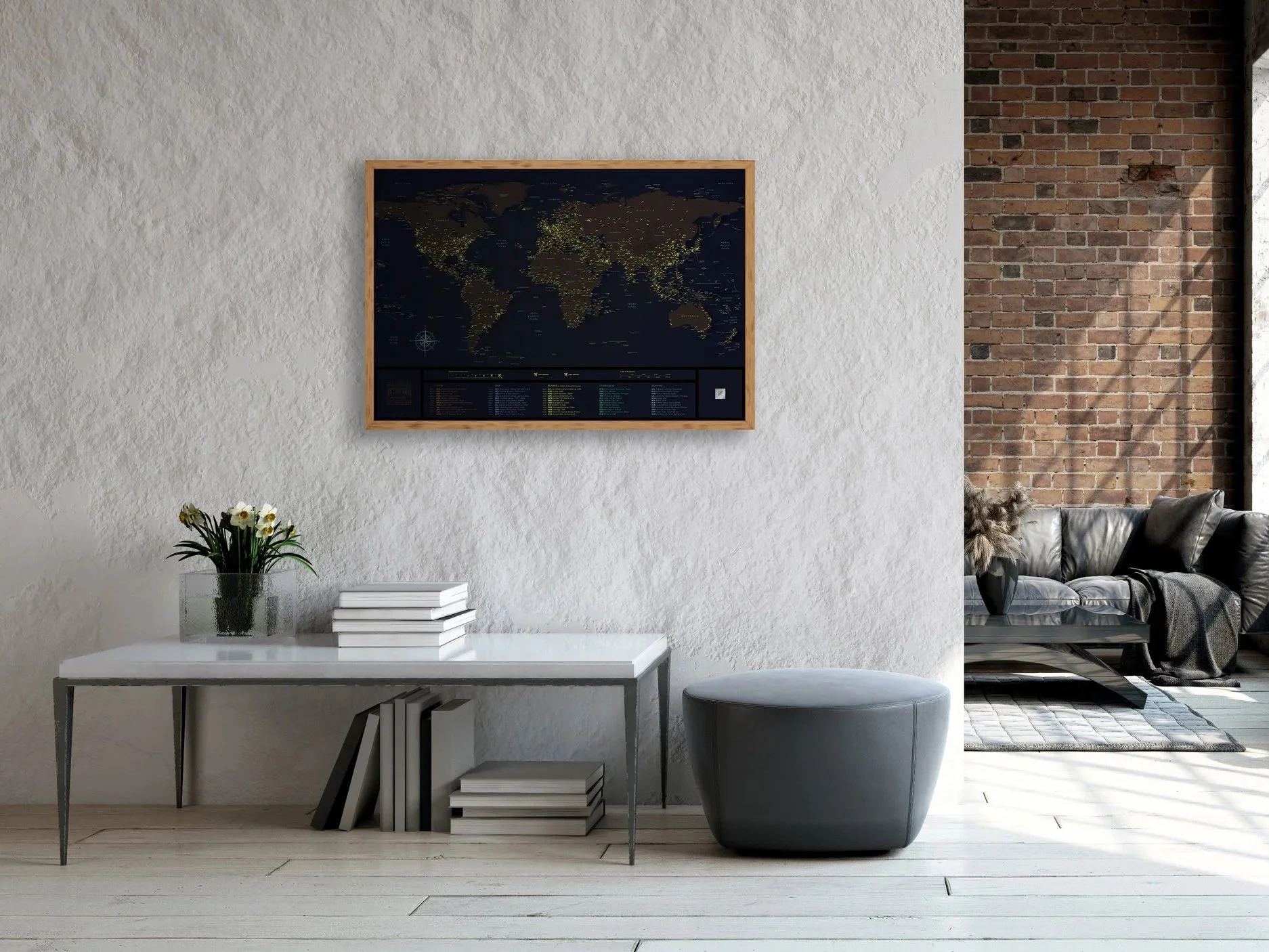
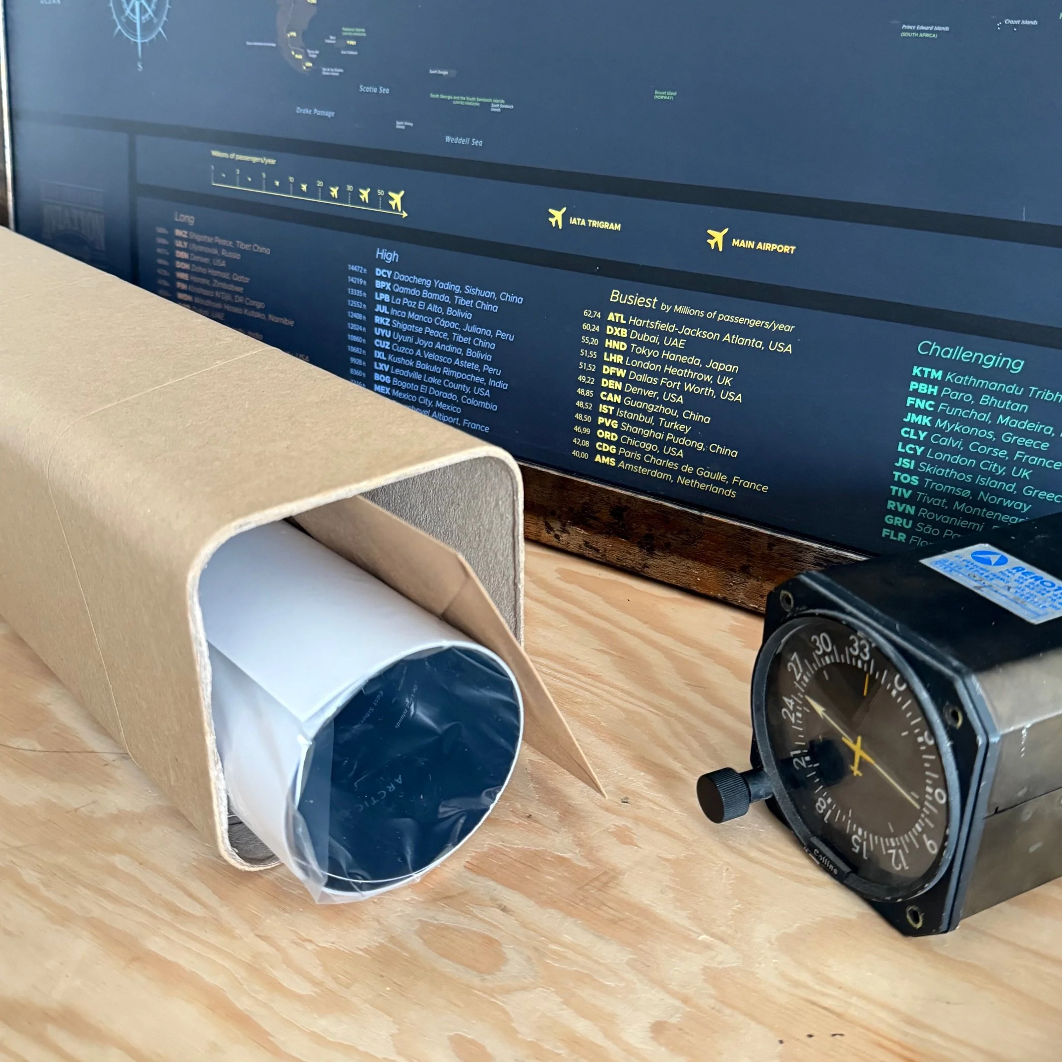
👉Dimensions: 91 cm x 61 cm , 24×36in
Printed on premium 200 g/m² paper with a matte, scratch-resistant finish
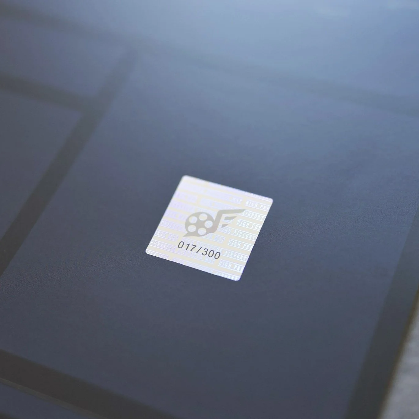
Limited edition featuring a holographic serial number
📊Information banner featuring the top 10: Airports, U.S. airlines, and busiest domestic & international routes
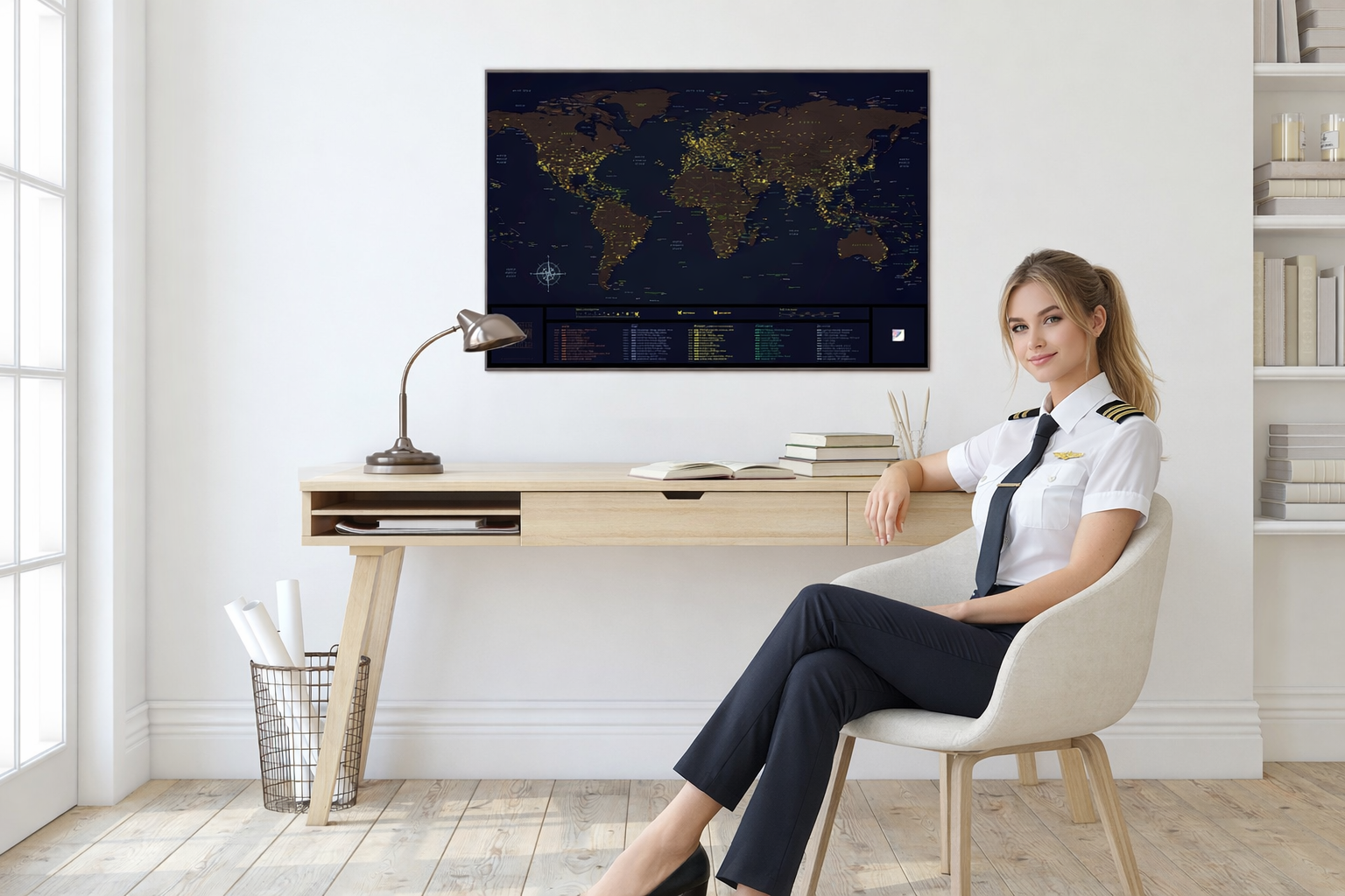
🛫Whether you’re a pilot, a frequent flyer, or simply passionate about the greatness of American aviation, Pick your next destination right from your wall!
📦Order today and get worldwide delivery via DHL
2 MAPS INCLUDED : 1 WORLD + 1 USA
100% made by an international pilot frequently flying in the USA
✈️Airplane icons sized proportionally to passenger volume
👉Dimensions: 91 cm x 61 cm , 24×36in
Printed on premium 200 g/m² paper with a matte, scratch-resistant finish
Limited edition featuring a holographic serial number
📊Information banner featuring the top 10: Airports, U.S. airlines, and busiest domestic & international routes
🛫Whether you’re a pilot, a frequent flyer, or simply passionate about the greatness of American aviation, Pick your next destination right from your wall!
📦Order today and get worldwide delivery via DHL

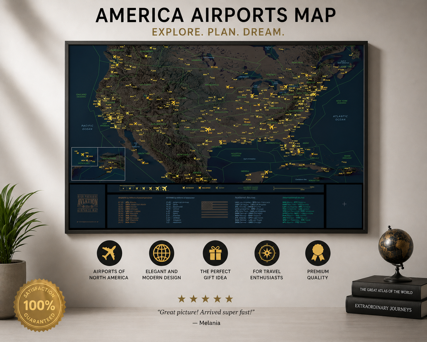 Image 1 of 9
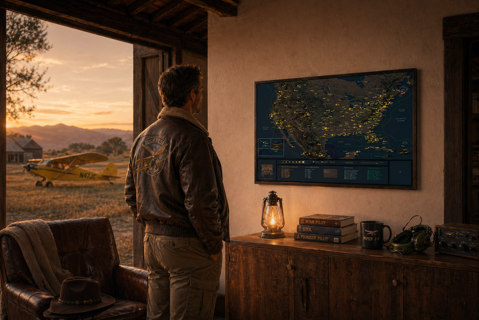 Image 2 of 9
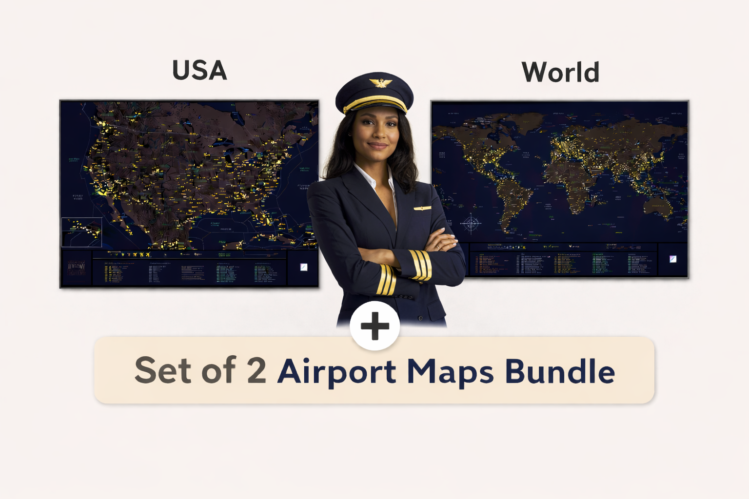 Image 3 of 9
 Image 4 of 9
 Image 5 of 9
 Image 6 of 9
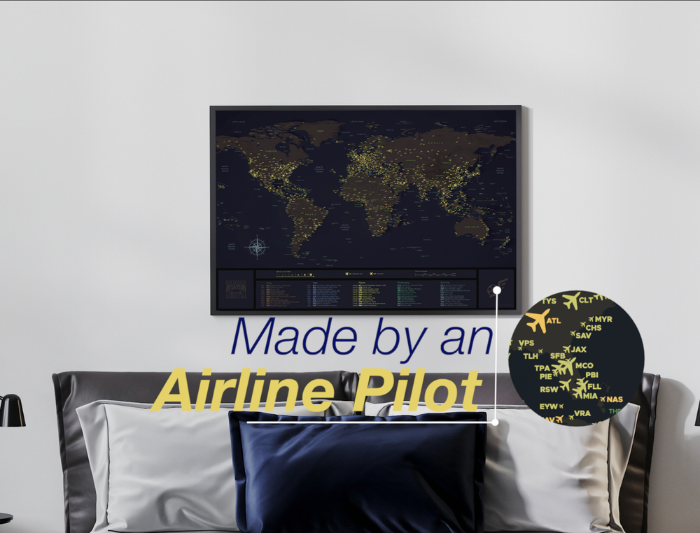 Image 7 of 9
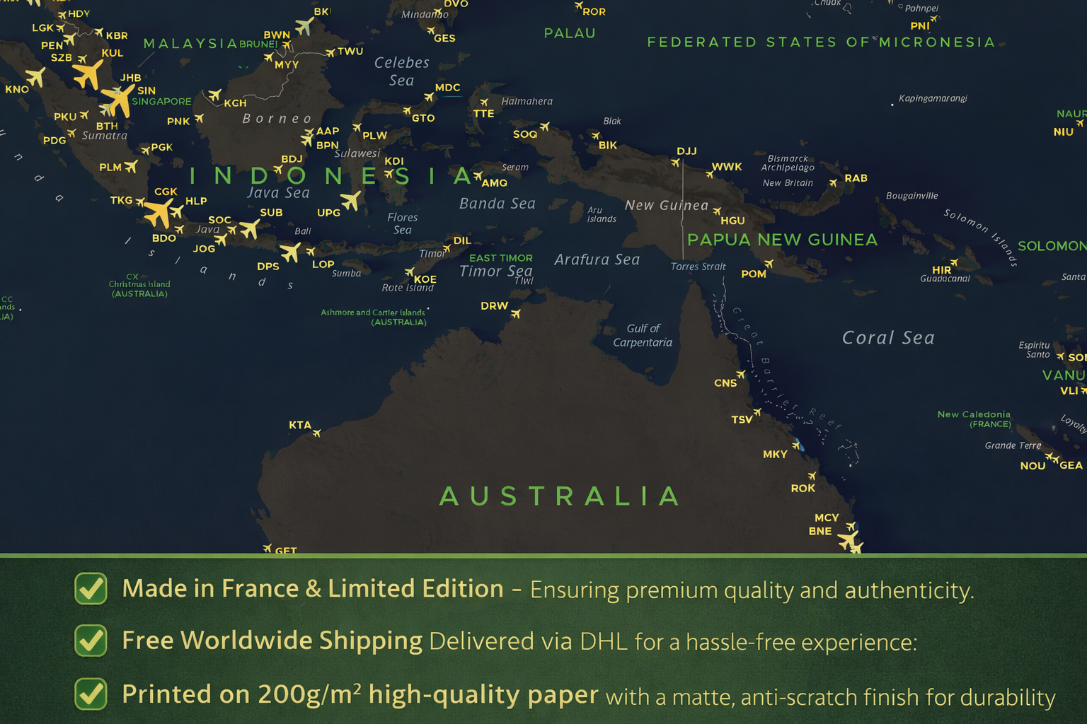 Image 8 of 9
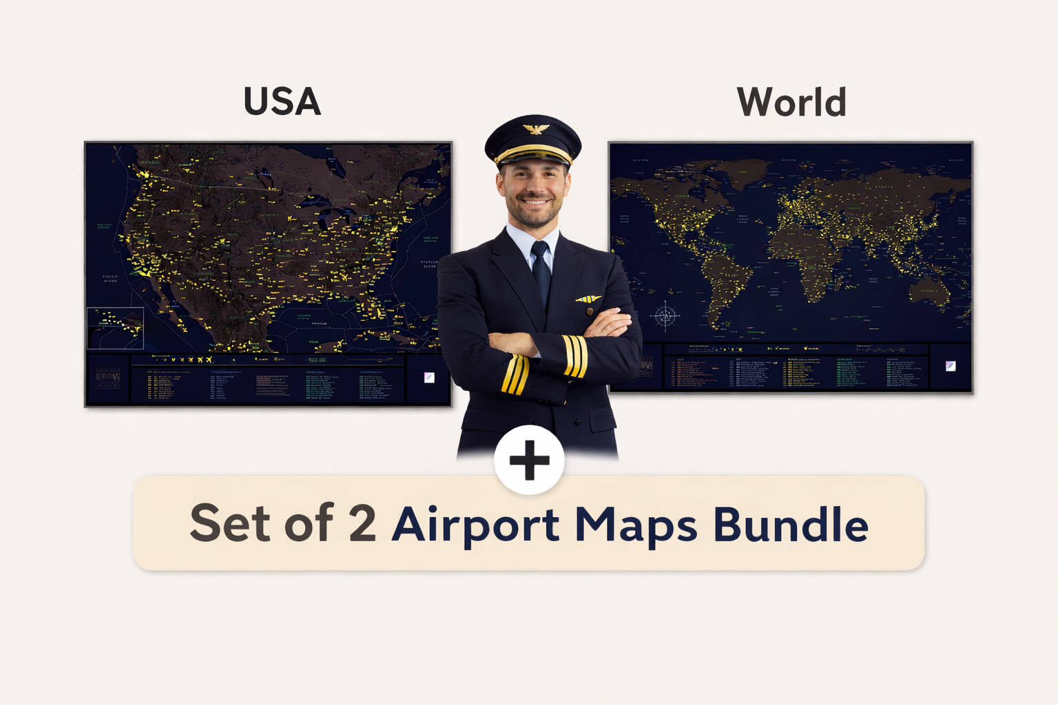 Image 9 of 9