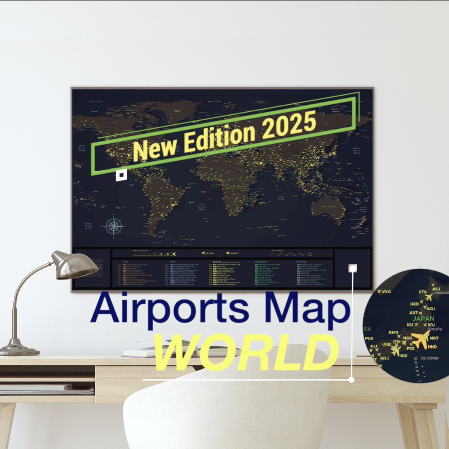
The World airports map
We started working on the map in March 2020. Quite quickly, the idea emerged of associating the colors of a night cockpit with the chart. I considered several colors for the oceans. Whenever I got lost, I would go back to my night landing videos in Nice, Los Angeles or Tokyo.
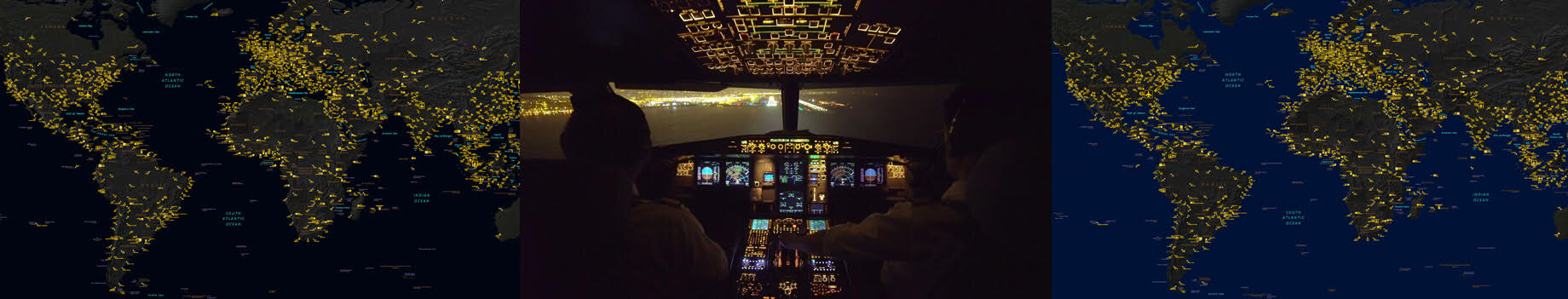
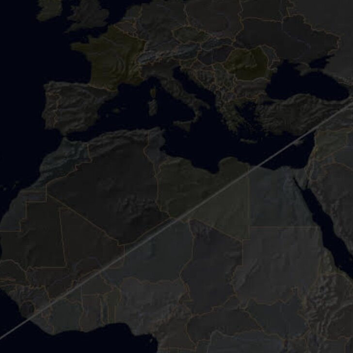
Oceans make up 70 percent of the earth's surface…
Design means racking your brains over every detail. A lighter shade? Will darker be readable? Which colors for countries and borders? Of course, there is an artistic element to every detail, but always with the desire to keep the project harmonious. I knew that the airports would be golden. I then thought of using separate colors to differentiate the main airports. I chose to keep the IATA trigram only for several reasons : Readability, efficiency, and the desire to be able to add as many airports as possible used by airline pilots.

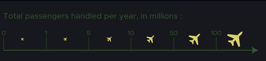
The bigger the pictogram, the more traffic at the airport.
The format of the map was crucial. My community is present on all continents, and I wanted it to be able to adapt to the frames used worldwide. For this reason, I chose the 61x91cm format (24x36 inches). In addition to this, we thought of a relevant information banner. What are the most famous airports, and why? Of course, I thought of the biggest, the most dangerous, and the most beautiful. But also the ones with the longest runways and highest altitudes! To do this, I checked on a global database, bringing together data from all airports.

You can order now in the shop below :